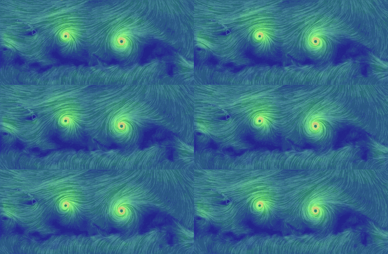
For the first time in recorded history, three tropical storm systems are threatening the U.S. simultaneously and a fourth could quickly join the ranks.
Two back-to-back storms—currently Hurricanes Madeline and Lester—could hit Hawaii’s Big Island this week, while two others are forecast to impact North Carolina and Florida’s Gulf Coast. If either storm makes landfall on the Big Island as a hurricane, it would be the first since record-keeping began.
As Jeff Masters put it from WunderBlog:
National Hurricane Center has issued a Hurricane Watch for the Florida Gulf Coast from the Anclote River to Indian Pass, and a Tropical Storm Watch for the Florida Gulf Coast west of Indian Pass to the Walton/Bay County line. You’d wouldn’t guess from Tropical Depression Nine’s appearance on satellite imagery, though, that the storm could become a hurricane by Thursday. TD 9 struggled with dry air and wind shear all day Tuesday, and a NOAA hurricane hunter aircraft on Tuesday afternoon found that top sustained winds had remained near 35 mph, and the central pressure had remained constant at 1004 mb. TD 9 continued to bring heavy rains to western Cuba during the day Tuesday, though; Santa Lucia in Pinar Del Rio provincereported a 36-hour rainfall total of 317.4 mm (12.50″) ending at 8 a.m. EDT. Additional heavy rains of 3 – 5″ are likely over western Cuba before TD 9 finally pulls away on Wednesday.

